Ikawai: a revelation

lamphrey
A lamprey or pirahau. Photo by Stephen Moore, Department of Conservation

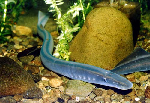
I came to the world of Ikawai rather late. I had dipped into the hefty 800 page volume some time back. What I read was very interesting, but thinking that it was basically an encyclopedia about fish, I had not ventured much further than the introductory chapters.

Recently, my interest in the impact of acclimatisation on Maori led me back to the book. What a revelation! Well actually a series of them. Continue reading

Map of “Middle Island” 1840

I came across this map in Mick Strack’s essay “Bounding the Land: Cadastral framework on the Taieri” in the recently published “Making Our Place”, and it intrigued me.

It is a map of the South Island, sketched by Edmund Halswell around 1841 from an unidentified Ngai Tahu source. The map shows the South Island so elongated and distorted in shape, that is almost unrecognisable. But is precisely this cartographic inaccuracy which reveals valuable information about how Maori interacted and viewed the land before European colonisation. Continue reading

The place of an echo: Pūtaringamotu (Deans Bush)

When Europeans began arriving in the Canterbury region in the early 1800s, most of the swamp forest – dominated by matai, totara and kahikatea (white pine) – that covered much of the Canterbury Plains in previous centuries was gone. It is thought that it had been destroyed by a great fire that swept across the plains during the moa hunter period, leaving only a scattered bush remnants. Continue reading