It has been a busy couple of months, getting my new book ‘An Uncommon Land’ edited, designed and laid out and then checked, re-checked, and triple-checked ready for printing. It is now being printed, due to released by the end of this month.
So, what is ‘An Uncommon Land’ all about?
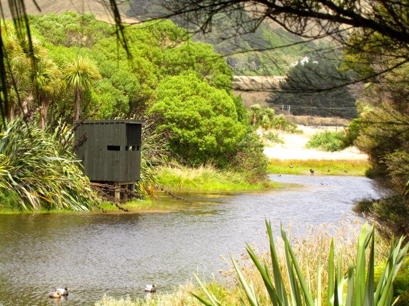
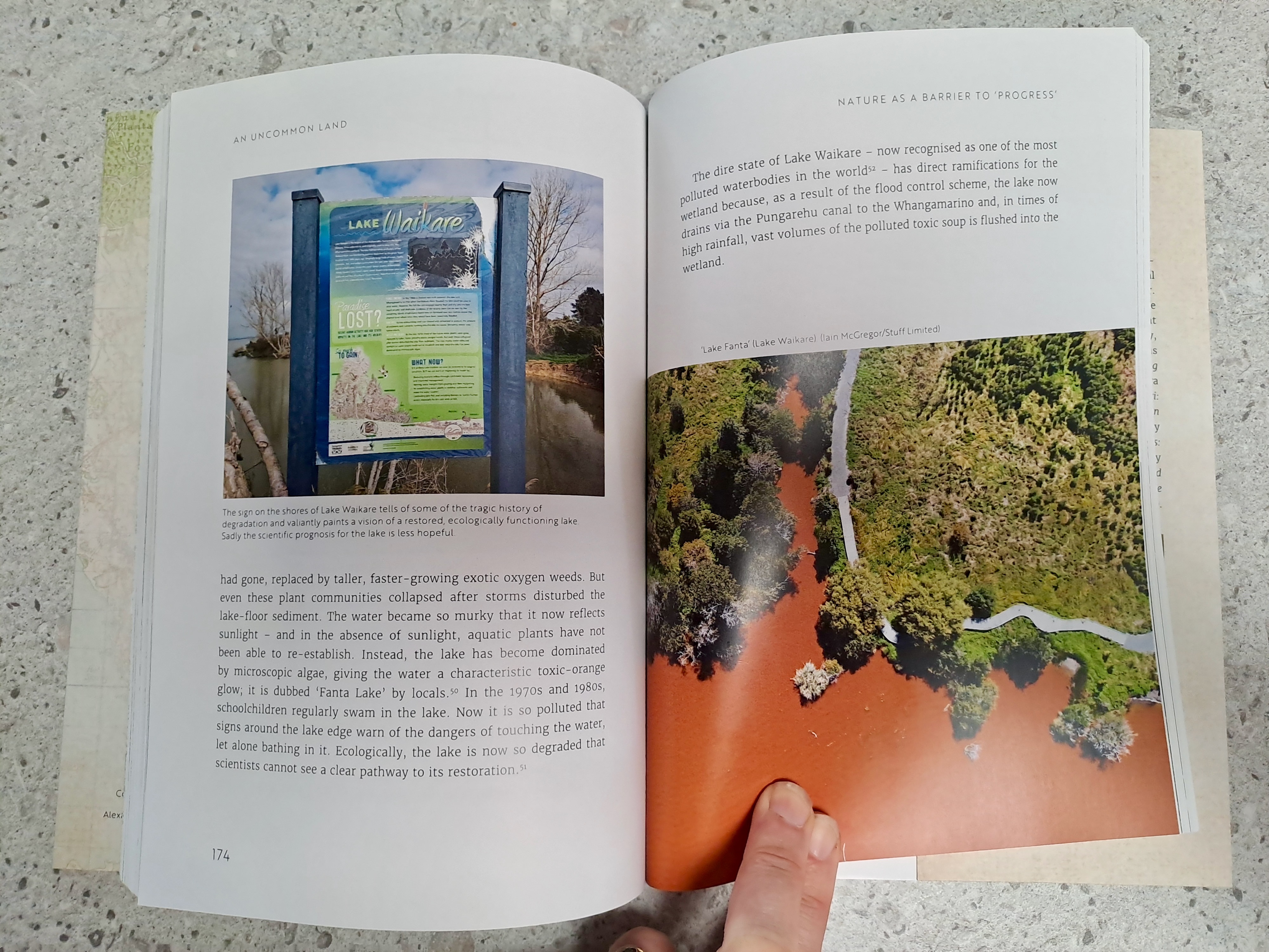
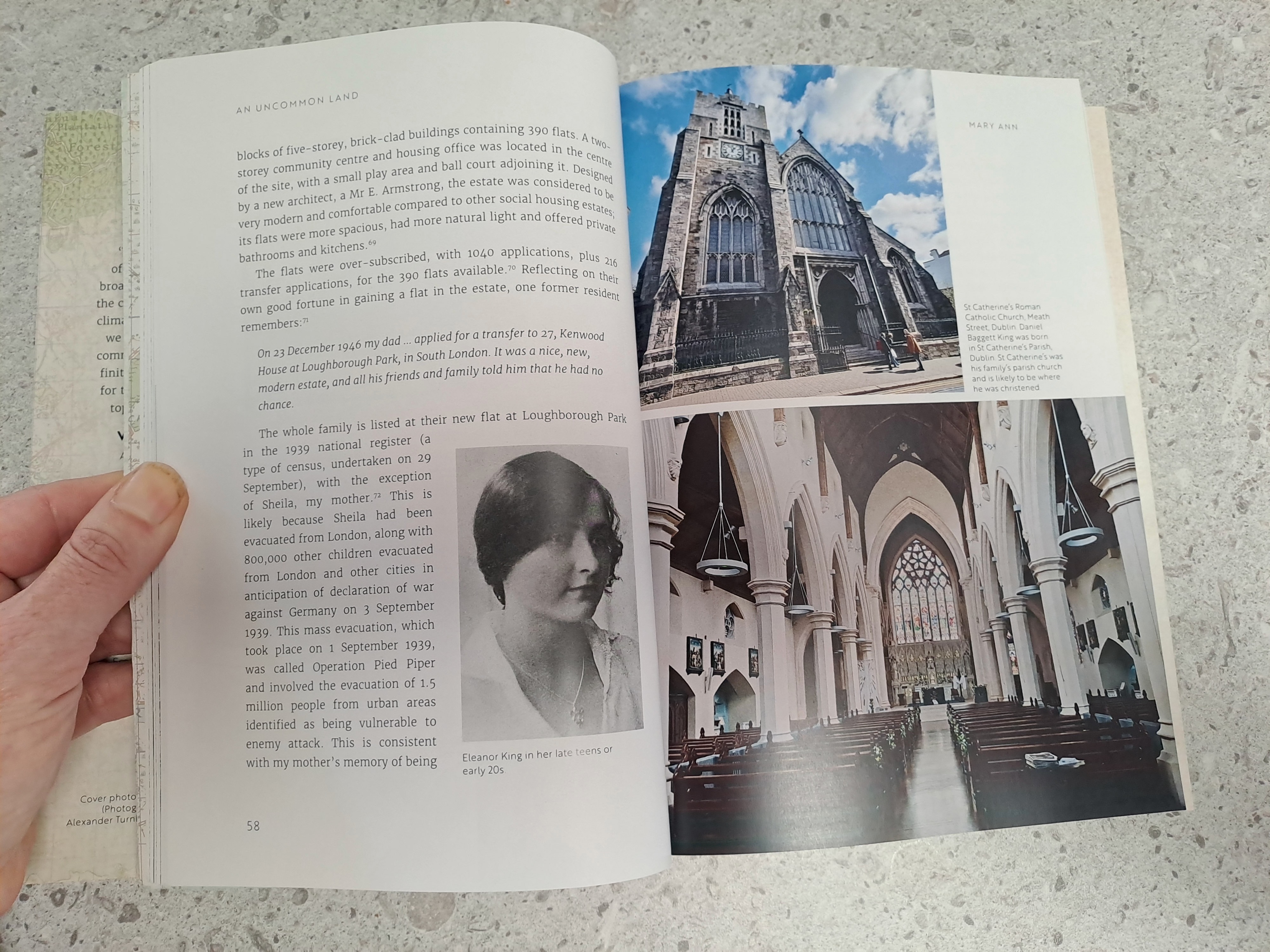
An Uncommon Land is a story of enclosure, dispossession, colonisation and – ultimately – hope for a better future. Through the lens of her ancestors’ stories, Catherine Knight throws light on the genesis and evolution of the commons, its erosion through enclosure and the ascendency of private property in parallel with the rise of capitalism – a history that has indelibly shaped New Zealand society and its landscape.
Like other European settlers, the lives and future prosperity of the author’s ancestors had their foundations in war, land appropriation and environmental destruction – but in their histories lie glimmerings of the potentiality of commons: tantalising hints of an alternative path to a re-commoned, regenerative future.
At this pivotal juncture in our history, we face unprecedented challenges caused by our exploitative actions towards nature and each other. But we have a choice: to continue along the path of untrammelled exploitation and exponential growth, or to reassess the way we engage with the natural world and the rest of society. From a past of enclosure, resource exploitation and denaturing, we could choose a path of re-commoning and regeneration, taking inspiration from our collective history.
My aim with the book is to invite readers into a conversation. A gentle invitation to reassess the world we live in today by reflecting on our own ancestral past. Is it really so radical to talk about a society which carefully regulates the use of common resources, lives within limits, and values social connection beyond the accumulation of material possessions, when these were natural features of own ancestors lives not so many generations ago?
The book will be available as a beautifully designed paperback book (thanks to my talented designer Matthew Kelly) as well as an e-book. More details on my website and a downloadable flyer here. Can be pre-ordered from Nationwide Book Distributors.
There will be no formal launch, but I would love to hear from groups or organisations wishing to host author talks, panel discussions or similar exploring the themes of commons, enclosure, regenerative economy or post-growth paradigms – this could be standalone, or alongside other authors or thought-leaders – all proposals considered! Feel free to contact me via Substack or via my website.