![Plan of lagoons and channels dug by Maori at the mouth of the Wairau River, drawn by J.L. D'Arcey Irvine. Alexander Turnbull Library, MapColl 832.2gmtb [pre-1840] Acc. 120](https://envirohistorynz.com/wp-content/uploads/2014/08/wairau-lagoon-maori-channels.jpg)
Rangitane

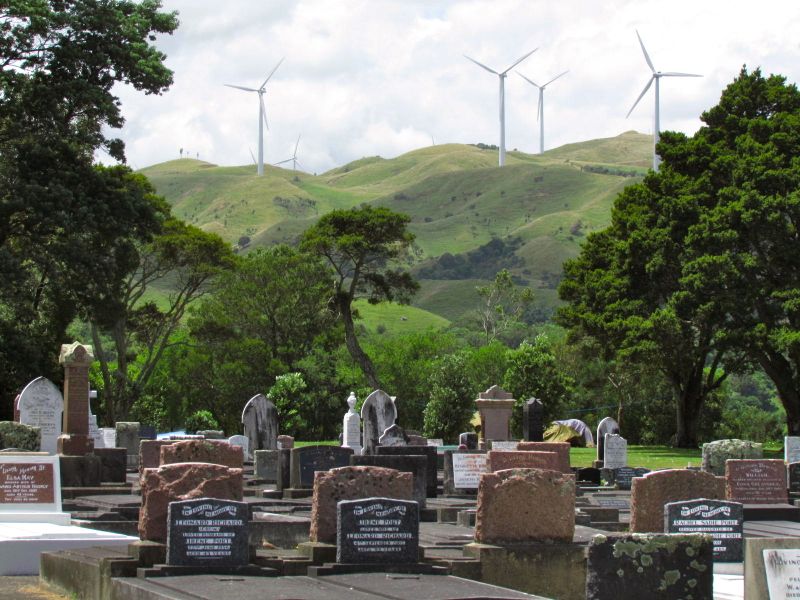
Landscape of juxtaposition: view from a graveyard
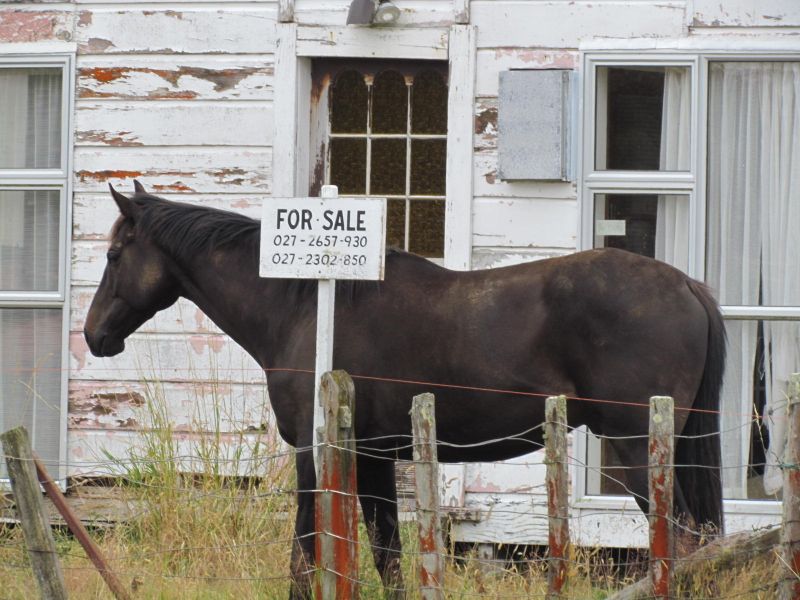
 Yesterday, we ventured out on a photography expedition for my near-complete book exploring the environmental history of the Manawatu. (See: A racy title is one thing, but what’s the book actually about?) Many adventures awaited us, including an amorous kunekune pig and his similarly friendly ostrich companion, residents of a historic farm at Karere.
At Ashhurst, I was unable to resist this landscape – a poignant juxtaposition between old and new. Continue reading
Share this:

Discovering our own “sacred groves”

When I lived in Japan, I took great pleasure from visiting Shinto shrines. Though I am not a religious person, there was something very spiritual and calming about these places. They were a place of solace and quietude. Shrines were sometimes only very small and simple affairs – often hidden in an unexpected corner of a bustling urban landscape. Continue reading
Share this:

Horse anyone? – Exploring the upper limits of the Manawatu
I know Apiti as the small settlement located at the upper limit of the Ahuaturanga (or Upper Manawatu) block, purchased from its Rangitane owners by the government in 1864.
While I had read about it, until today, I had never been to Apiti [click here to view location]. Continue reading
Share this:

Cameron Blockhouse: a strategic view of the landscape
Anyone with even a passing interest in Maori history will have recognised the ability of Maori to select sites in the landscape that afforded them both a defensive and strategic advantage over any advancing enemy tribes. Often sites were at the top of cliffs, with sweeping views over plains and down river valleys, frequently bordered on at least one side by a river, which acted as a natural moat. Within the Manawatu, for example, the Rangitane pa sites Otangaki (Ashhurst) and Te Motu o Poutoa (Anzac Park) were examples of sites that took advantage of such geographical features. Continue reading
Share this:

Ashhurst wetland: the restoration of the wetland that wasn’t
Though we often hear about wetland restoration projects, the Ashhurst wetland, on the river flats below the Ashhurst Domain [click here to view location] is not a case of “restoration” in the normal sense. Continue reading
Share this:

Rainbow over Linton, Manawatu
 Driving back from the Manawatu today, we were lucky enough to encounter our second rainbow of the day. This one was particularly spectacular, set against the dusky blue-grey of the Tararua Ranges, and the dark rain cloud-filled sky. This one “ended” among a cluster of regenerating indigenous trees (possibly totara) on fields on the Manawatu River terraces just south of the Linton Army Camp turn-off [click here to view location]. Continue reading
Share this:

Wairarapa Moana: a story of dispossession

A couple of weeks back, I took the train to the Wairapara. Emerging from the tunnel through the Rimutaka Ranges (which at 8.8 kms is one of the longest train tunnels in New Zealand), the landscape was striking. What impressed me was the sheer scale of the agricultural plains: the indigenous forest that once covered the hills and plains long ago replaced by an orderly patchwork of fields. But a second glance down onto the plains to the east revealed the presence of a large watery expanse: not blue, exactly – more swirls of green and brown – but unmistakably a lake. Continue reading
Share this:

Food basket to floodway: the story of Awapuni Lagoon and Mangaone Stream
 A few months ago, I posted the story, The city of hidden lagoons: Palmerston (of the north), which explored the watery history of the Manawatu city of Palmerston North, where I grew up. In particular, the post told a little of the story of the long-forgotten Awapuni Lagoon, which once lay in the south-west corner of the city. This post will add to that story, with the history of the Mangaone Stream, which fed into the Manawatu River in the same area of the lagoon. Continue reading
Share this:

The city of hidden lagoons: Palmerston (of the north)
 I came across this photo on the Manawatu Memory Online site the other day, while looking for an image of early Manawatu history. I was immediately captivated by the image. It is the 1881 photograph of the now long-gone Awapuni Lagoon, located in what is now the south-western corner of Palmerston North city, about where the Awapuni racecourse is today [click here to view map]. Continue reading

