I know Apiti as the small settlement located at the upper limit of the Ahuaturanga (or Upper Manawatu) block, purchased from its Rangitane owners by the government in 1864.
While I had read about it, until today, I had never been to Apiti [click here to view location].
Being some distance away from railway lines, major roads and characterised by both hilly topography and heavy forest, Apiti proved a challenging environment for its European settlers.

Owing to these challenges, it was cleared for farming much later than central Manawatu, which had the benefit of the railway in particular. At one point, it did boast two sawmills, but the timber cut at the mills was used predominantly locally, as it was too difficult to transport timber to larger centres.
So dense the forest, and challenging the topography, some would-be settlers gave up on locating the survey pegs for their allotted farms, and retreated to the nearest towns in disgust and despair.

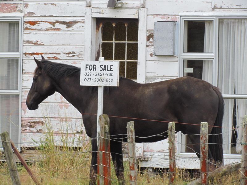
The familiar grid pattern of streets within the town, as well as their generous width, hints at a rather optimistic view of the future growth of the settlement. Today, however, the streets are only sparsely populated by homes, interspersed by a generous supply of paddocks, themselves sprinkled with disused farm machinery. But far from giving Apiti an atmosphere of neglect or melancholy, as might be expected, the settlement still held a vitality and charm (and sense of history) that towns on main highways often lack.


Very interesting, as usual.