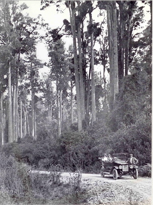
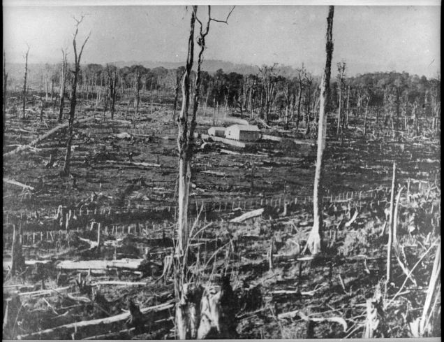
A window into the long lost, densely forested lowlands of Manawatū has been opened by an author using antique glass plate negatives and new geocaching applications.
Pohangina author Catherine Knight’s main focus is environmental history which led to her fourth book Wildbore: A photographic legacy.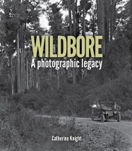
Read the remainder of the story and watch the video on the New Zealand Herald website.
For more information on Wildbore: A photographic legacy (Totara Press), including where to purchase it, go to the Totara Press webpage
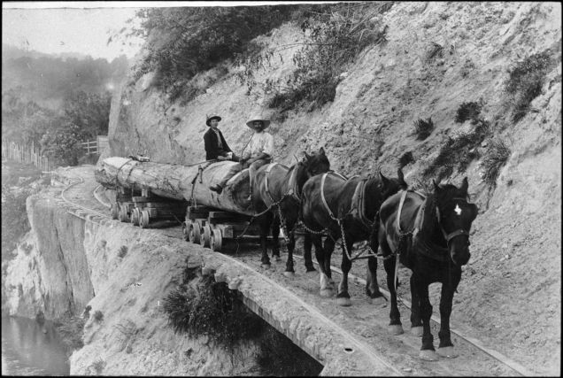
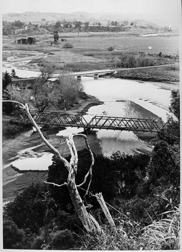
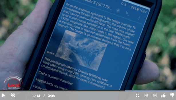
See also: Wildbore geocache no. 1: the school that moved, “Ghost bridge” – Wildbore geocache no. 2, Hauling logs over the Awaoteatua Stream – Wildbore geocache no. 3, or search for posts using keyword “geocaching”

 Reflecting on what I learnt from researching the last 50 years of environmental policy and management in New Zealand, a question has arisen in my mind that is – I believe – a vitally important one, with strong relevance to the environmental challenges we face today. That is, in rejecting “top-down” town planning, as represented by the Town and Country Act 1977 and its predecessors, and embracing an environmental management regime that focused on minimising effects of activities once they happen, did the government abandon its legitimate mandate to shape a better future via environmental planning?
 In a recent article published in George Washington University’s online journal History News Network, I argue that New Zealand may be on the cusp of a tipping point – not in the state of our environment, but rather, in terms of New Zealanders’ awareness of the gravity of environmental issues we face and the need to make meaningful interventions.


 The fourth cache in the now “Wildly-Famous-in-Pohangina” Wildbore geocaching series is at the top of Church Hill, near the site of the eponymous church.