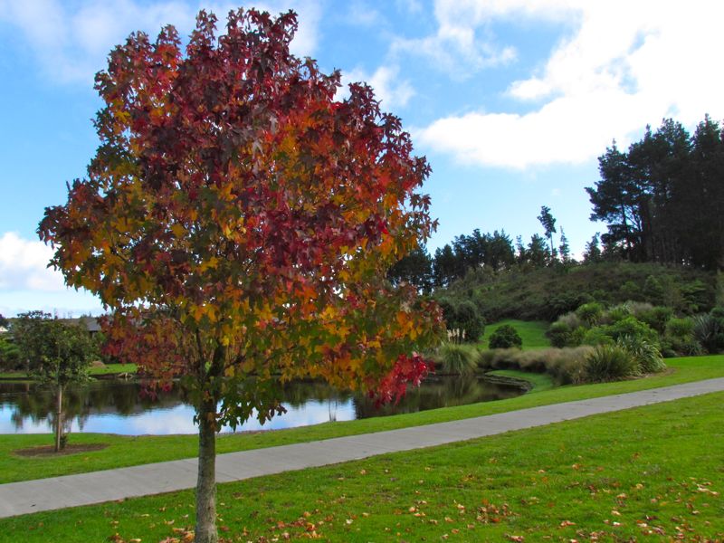
 On the subject of seasonal markers, fungi are another sign of the arrival of autumn. Both my four-year old son and I have been delighted by the fungi that seemingly appear overnight under a copse of pine trees near our home. Continue reading
commentary

The influence of seasons on culture and environmental perceptions
Something that envirohistory NZ‘s northern hemisphere readers may not realise is that in New Zealand’s indigenous landscape there are fewer seasonal markers, particularly on a wider landscape scale. Most of our indigenous forest trees are evergreen rather than deciduous, and few have leaves which change colour with the seasons. Even the flowers of indigenous trees plants tend to be small and rather less showy than their international counterparts.
Share this:

The effect of personal memory on environmental consciousness
I have often wondered why I am so interested in the link between deforestation, flooding and erosion. I put it down to my love of forested environments, and therefore my interest in the history of these environments. But it has occurred to me that it is perhaps more than this – that it relates also to personal memory, of an event in the environmental history of my lifetime.
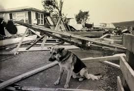
That event was Cyclone Bola, which hit the east coast of the North Island in March 1988, when I was a teenager. Continue reading
Share this:

Caterpillars stop train!
 Those of us who get annoyed by white butterfly caterpillars on our cabbages or broccoli may want to spare a thought for pastoral or crop farmers of the late 19th and early 20th century in New Zealand. Some caterpillars were of such plague proportions that on occasion, trains were brought to a screaming (or perhaps more squishy) halt by armies of caterpillars with their sights on a particularly tasty-looking field of wheat or oats. Continue reading
Share this:

How a beach stroll can be a journey of archaeological discovery
Generally, when we go for a stroll on the beach, our gaze tends to fall towards the sea, rather than inland. But sometimes it pays to turn our gaze towards the dune landscape too, as dunes sometimes harbour treasure troves of environmental history – in the form of middens. Continue reading
Share this:

Review: Home in the Howling Wilderness
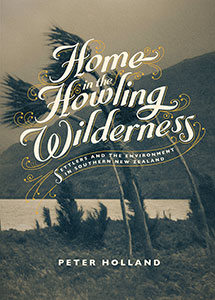 Peter Holland’s recently published Home in the Howling Wilderness is a valuable addition to the repository of literature and knowledge relating to New Zealand’s environmental history.
Holland, Professor Emeritus of Geography at the University of Otago, focuses on the first half century of organised settlement (1840 to 1890) of the lower South Island of New Zealand.
He has meticulously researched the ways in which early settlers learned about, and responded to the challenges of this unfamiliar environment, drawing on farmers’ dairies, letter books, ledgers, newspaper articles and other available sources. Continue reading
Share this:

Hay-making on the Horowhenua terracelands
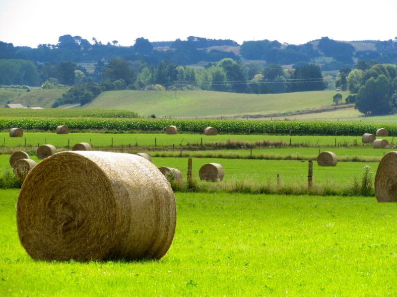
This shot, taken just south of Shannon, looks west across the terracelands above the Manawatu River as it meanders out to the Tasman Sea. Click here for map. Continue reading
Share this:

Upper Pohangina Valley farmscape
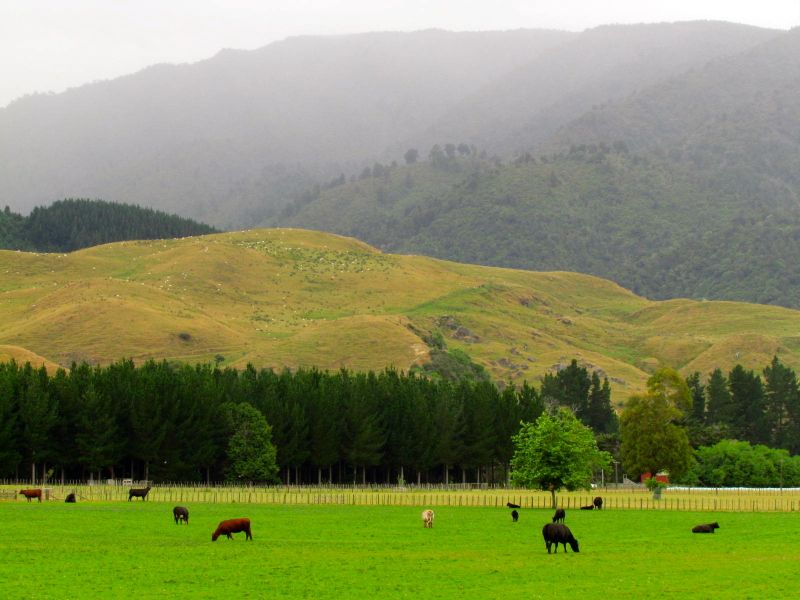
On the same trip on which we met the “horse for sale” (see previous post), we also passed through the Pohangina Valley, travelling from north to south.
Like Apiti, the upper Pohangina Valley is characterised by small settlements which are often more evident on the map than they are in reality: places such as Utuwai, Umutoi and Komako. Looking at early survey plans, it appears that the vision for these places was somewhat more substantial than what eventuated. Continue reading
Share this:

Horse anyone? – Exploring the upper limits of the Manawatu
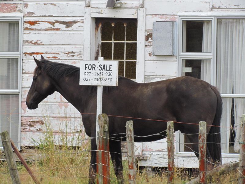
I know Apiti as the small settlement located at the upper limit of the Ahuaturanga (or Upper Manawatu) block, purchased from its Rangitane owners by the government in 1864.
While I had read about it, until today, I had never been to Apiti [click here to view location]. Continue reading
Share this:

Cameron Blockhouse: a strategic view of the landscape
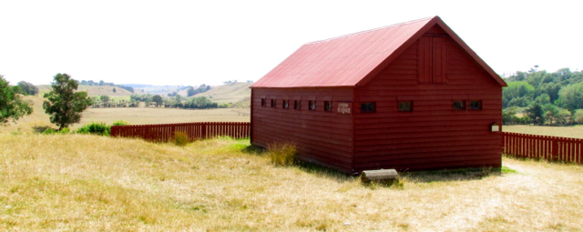
Anyone with even a passing interest in Maori history will have recognised the ability of Maori to select sites in the landscape that afforded them both a defensive and strategic advantage over any advancing enemy tribes. Often sites were at the top of cliffs, with sweeping views over plains and down river valleys, frequently bordered on at least one side by a river, which acted as a natural moat. Within the Manawatu, for example, the Rangitane pa sites Otangaki (Ashhurst) and Te Motu o Poutoa (Anzac Park) were examples of sites that took advantage of such geographical features. Continue reading

