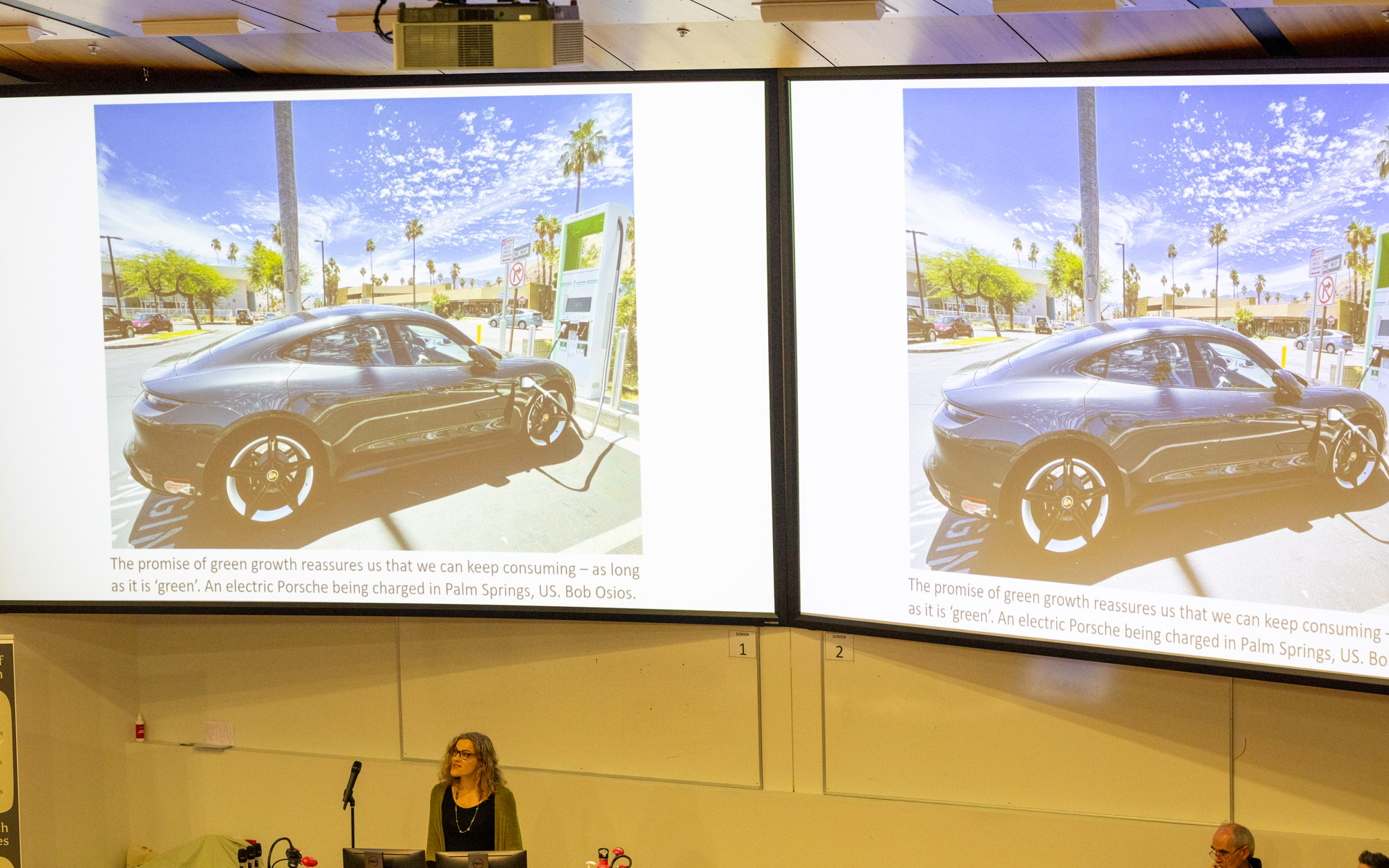
I was recently invited to write an editorial for City Changers, a European-based organisation helping to create better cities and towns for the future. This followed a LinkedIn post I wrote earlier this year critiquing the promotion of EVs as a solution to climate mitigation – the post went, as they say, viral.
In my City Changers article I expand on this original critique but focus more on the actual solution: cities, towns and rural communities built for people not heavy, energy-guzzling metal boxes.
Here is an excerpt:
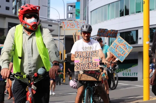
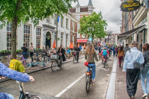
To address the emissions and high energy and resource demands of our transport system we must change the system: move away from car-centric towns and cities by investing properly in public transport and make active transport (walking, wheelchair use, and cycling) safe and enjoyable. There will also be a role for on-demand and shared vehicle mobility, which yes, will likely be electric – but our goal should not (and cannot) be the replacement of the entire ICE fleet with EVs.
But most importantly, we must shift the conversation. Rather than focusing on how to get people and stuff from A to B, we should be talking about how we can build future cities and towns that will meet people’s needs for ‘a good life’ within a 15 minute or so walk, cycle, or quick and easy public transport ride of people’s homes.
Read the full article here.
Read the full article here.