
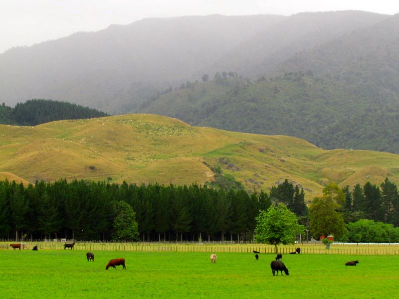
This shot, taken just south of Shannon, looks west across the terracelands above the Manawatu River as it meanders out to the Tasman Sea. Click here for map. Continue reading
This shot, taken just south of Shannon, looks west across the terracelands above the Manawatu River as it meanders out to the Tasman Sea. Click here for map. Continue reading

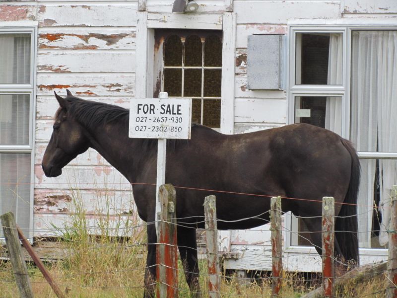
On the same trip on which we met the “horse for sale” (see previous post), we also passed through the Pohangina Valley, travelling from north to south.
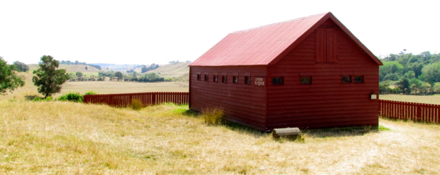
Like Apiti, the upper Pohangina Valley is characterised by small settlements which are often more evident on the map than they are in reality: places such as Utuwai, Umutoi and Komako. Looking at early survey plans, it appears that the vision for these places was somewhat more substantial than what eventuated. Continue reading

I know Apiti as the small settlement located at the upper limit of the Ahuaturanga (or Upper Manawatu) block, purchased from its Rangitane owners by the government in 1864.
While I had read about it, until today, I had never been to Apiti [click here to view location]. Continue reading

Anyone with even a passing interest in Maori history will have recognised the ability of Maori to select sites in the landscape that afforded them both a defensive and strategic advantage over any advancing enemy tribes. Often sites were at the top of cliffs, with sweeping views over plains and down river valleys, frequently bordered on at least one side by a river, which acted as a natural moat. Within the Manawatu, for example, the Rangitane pa sites Otangaki (Ashhurst) and Te Motu o Poutoa (Anzac Park) were examples of sites that took advantage of such geographical features. Continue reading

